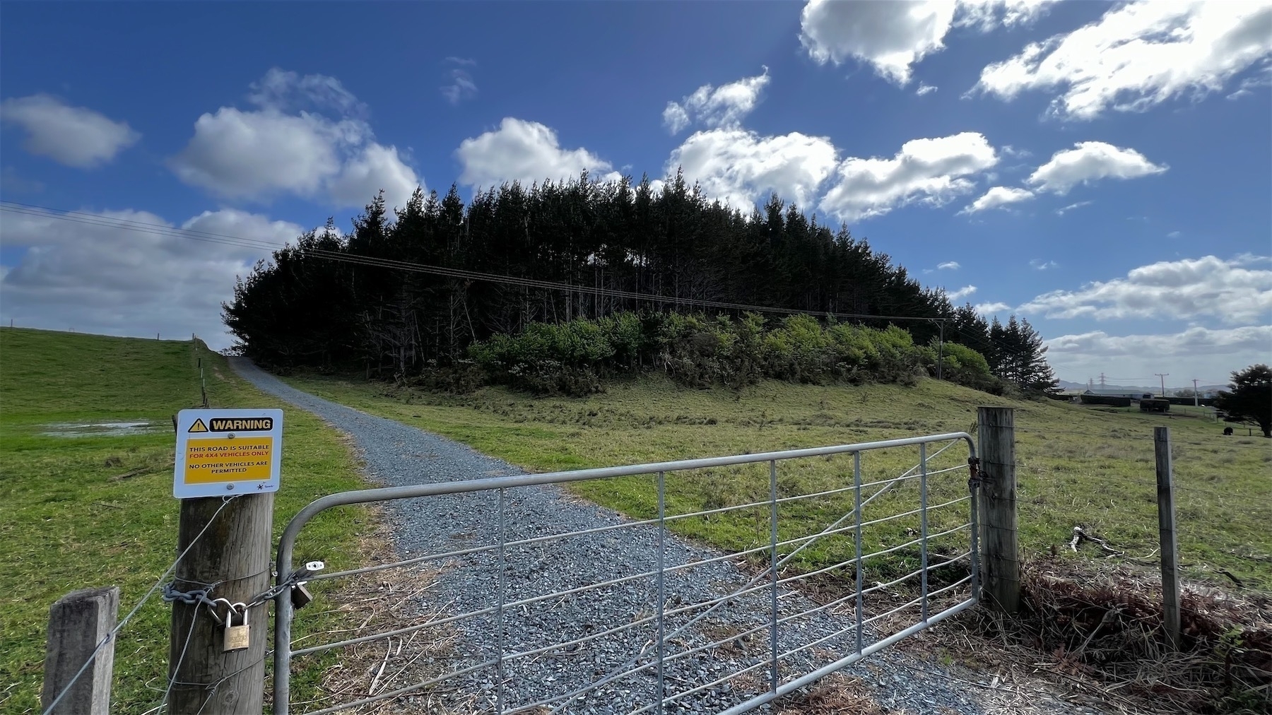
We can see this tree topped hill from our dining room window. It's just across the river and slightly north of us.
Aerial views show it's the site of a water reservoir and pine plantation, and a cell tower.
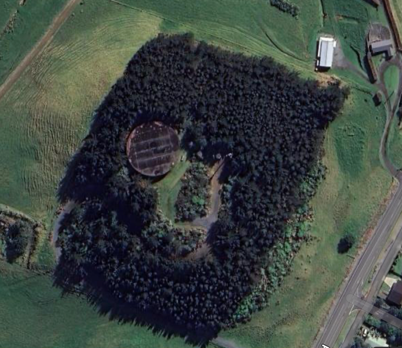
Historical records (PDF) say it's a Pā site.
Survey office plan SO 40 (1854-1865) shows the 14807 acre Ruakākā Block and shows a number of features of interest including the location of pa site Q07/94 named Pitorehu
The 8 or so padlocks on the chain round the gate made it very clear you can't get in for a look.